Webinar Series: iTwin Capture
Advancing Infrastructure Workflows by Turning Reality Data into Real-world Insights
Every digital twin should provide users immediate access to real-world insights across their workflows. We are committed to making reality modeling an everyday part of user work, just like the use of smartphones, cloud services, and collaborative applications.
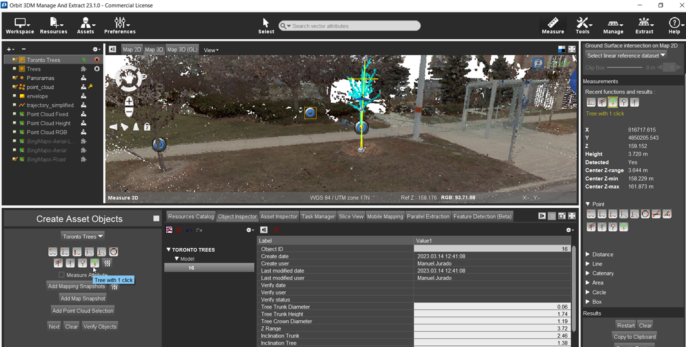
iTwin Capture brings reality capture to everyone, enabling all infrastructure practitioners to access these capabilities and create, manage, and share reality data, as well as extract insights. This connected reality data environment serves as a single source of truth to advance your infrastructure workflows.
Join this webinar serie to learn how you can manage, extract insights, and share your reality data to advance your infrastructure workflows!
Register for these upcoming webinars!
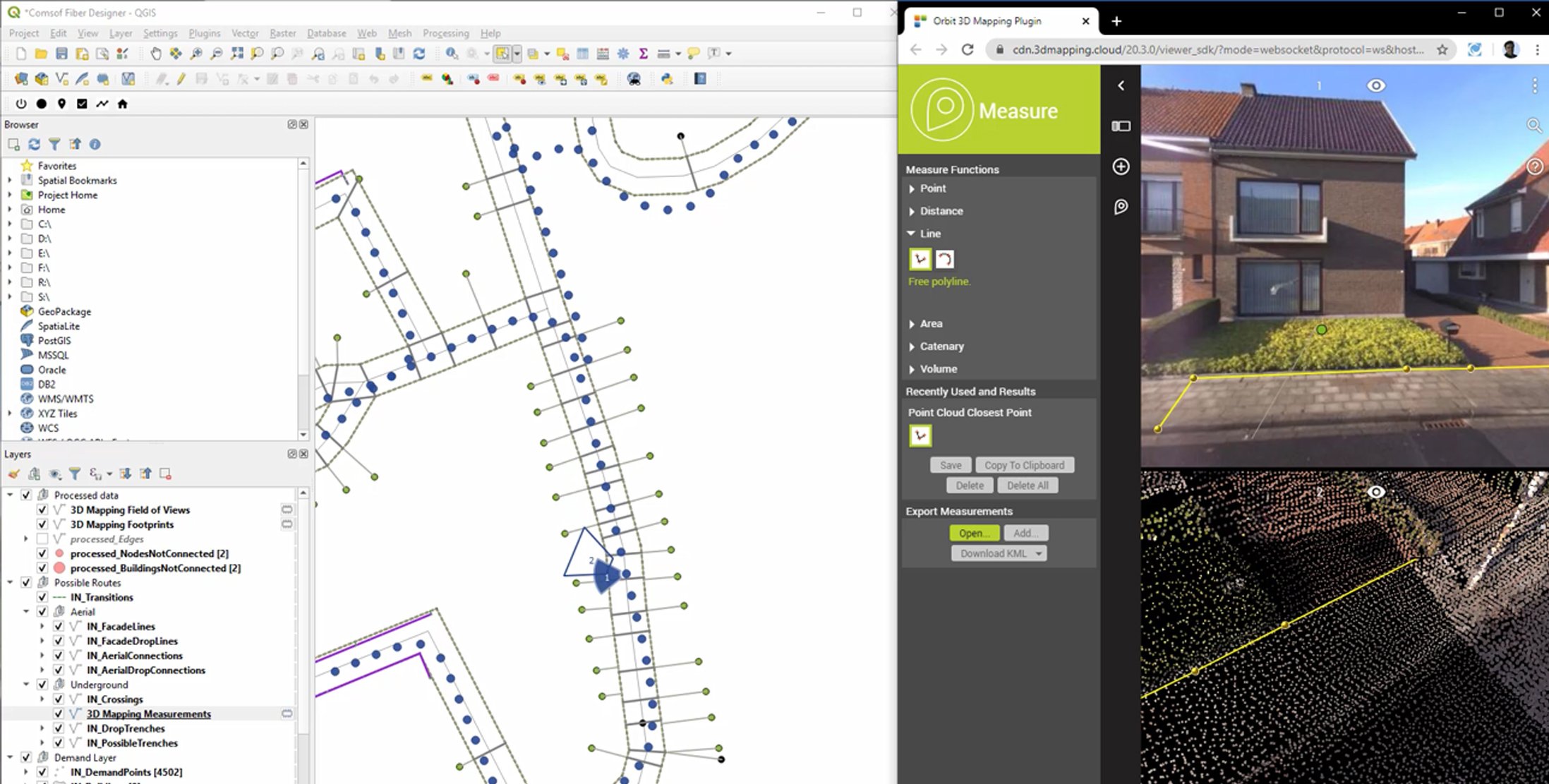
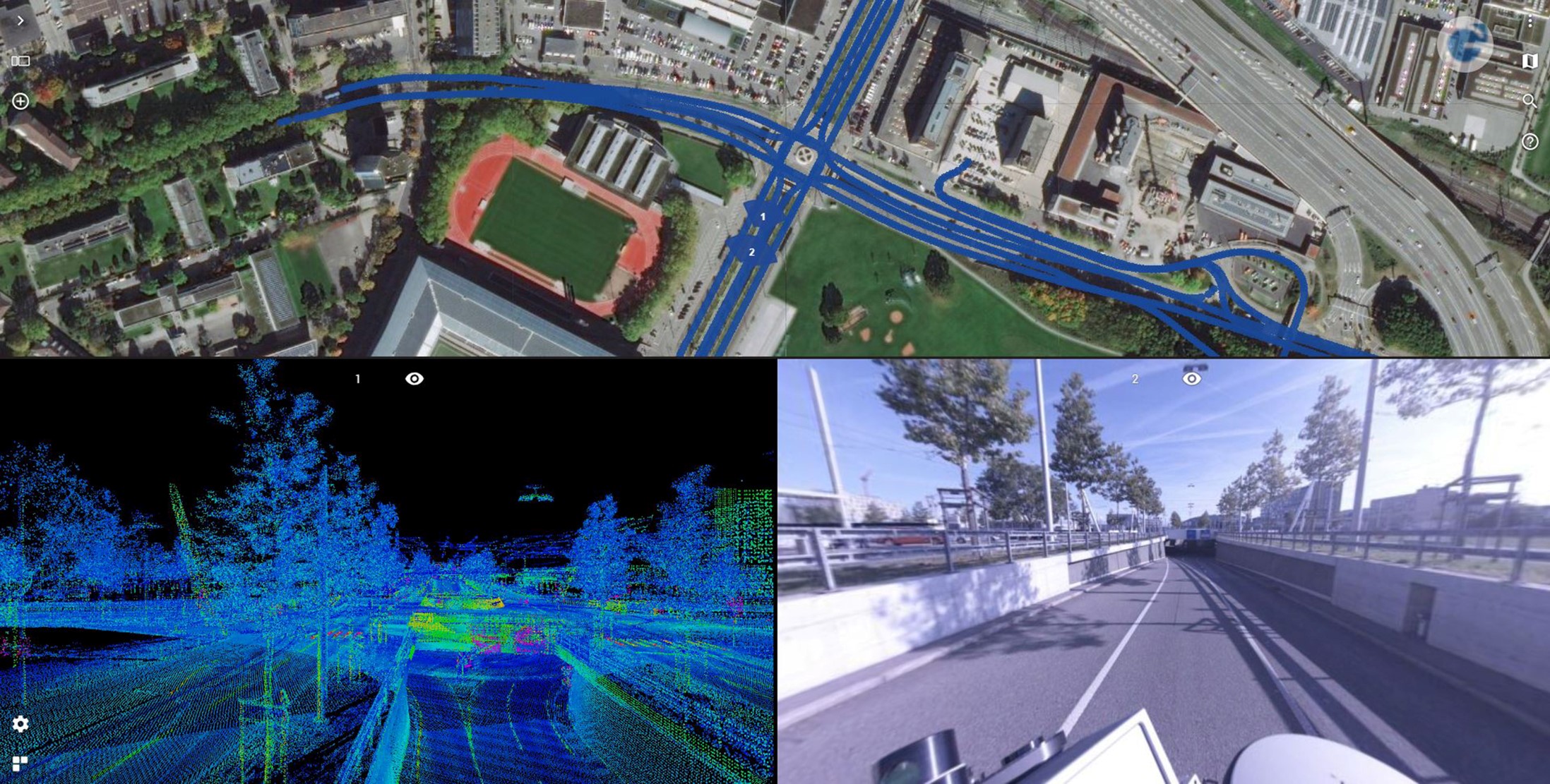
Part 3 - Advanced analysis for DOT using and sharing mobile mapping data
May 24th - 3PM CET
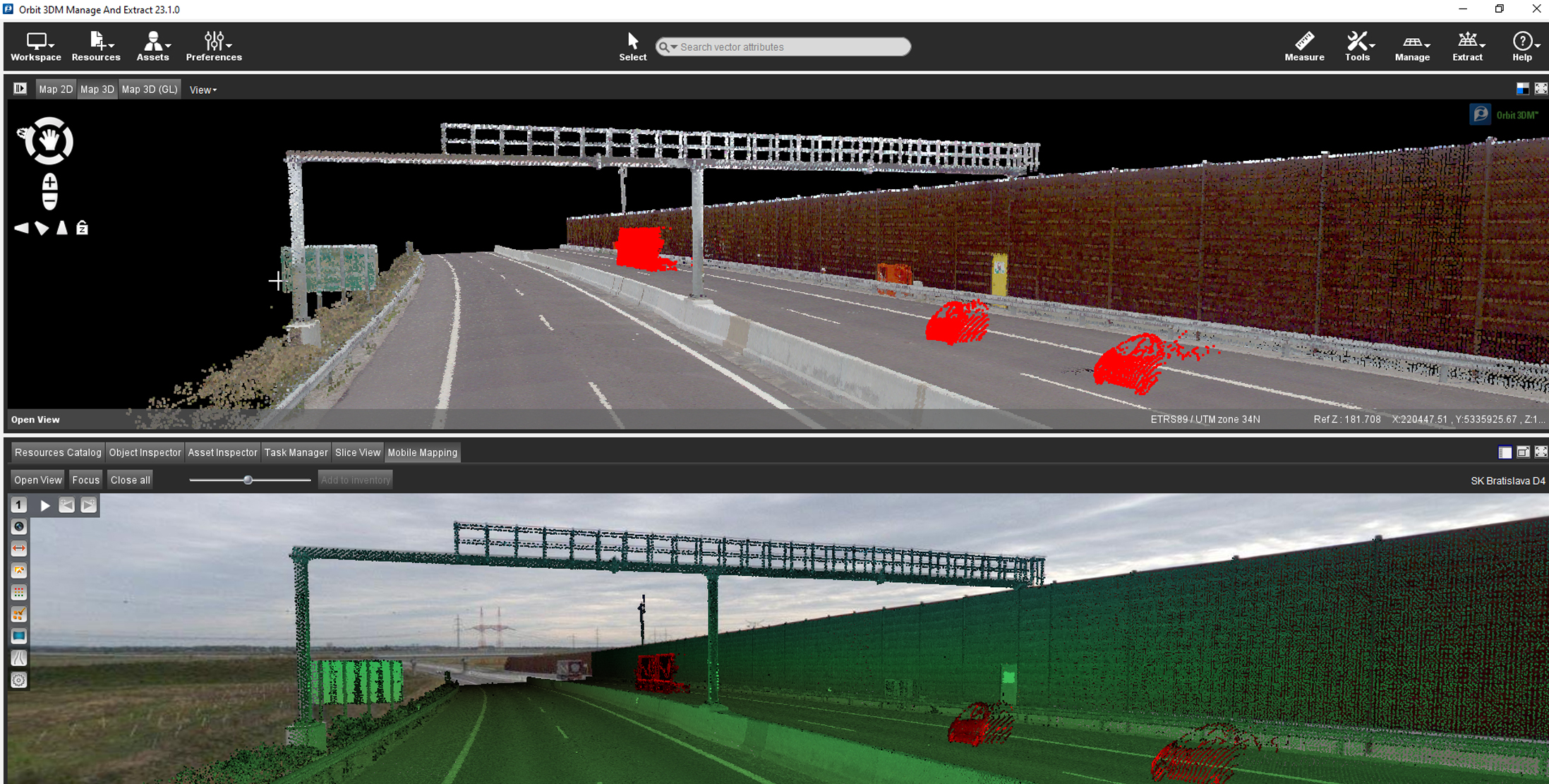
Part 4 - Leverage AI for feature extraction workflows using street-level images and LiDAR
June 7th - 3PM CET
/Virtuosity%20Branding/Virtuosity_Logo_2022-1-1.png?width=185&height=75&name=Virtuosity_Logo_2022-1-1.png)


