Available OnDemand
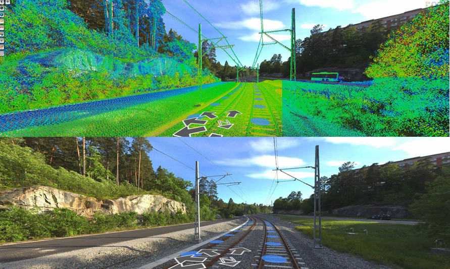
Requirements for data management, analysis and visualization have increased for mobile mapping. By combining panoramas and point clouds, you can quickly and more accurately take measurements, extract information, and generate insights for decision-making for asset and site management.
Join technology consultant WSP and Bentley's Reality Modeling team to discover how Orbit 3DM solutions can enhance infrastructure asset managements. Explore the benefits and best practices of using Orbit 3DM solutions for road and rail applications, and learn why WPS found Bentley's mobile mapping solution to be easy-to-use.
Part 1 | How to Collect and Share Mobile Mapping Data
In this session, you will discover where mobile mapping is performed on road and rail projects in Sweden. Discover how data can be collected (360-image, planar-image, point cloud), and how to import them into Orbit 3DM Content Manager. Explore how to share mapping data with stakeholders using Orbit 3DM Publisher.
You will learn about:
- Road and rail use cases in Sweden
- Mobile mapping support in Orbit 3DM Content Manager
- Benefits of sharing mobile mapping data with Orbit 3DM Publisher

Part 2 | How to Integrate Mobile Mapping Data in your System
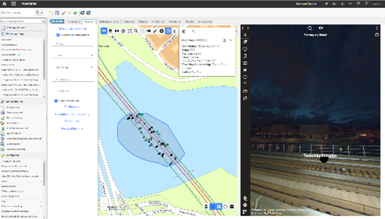
In this session, we will take a deeper dive into mobile mapping use cases in Sweden and learn how a digital twin is created utilizing mobile mapping data. Discover how to integrate the data into an asset management platform “IBM-Maximo” together with ESRI ArcGIS.
You will learn about:
- Road and rail use cases in Sweden
- Orbit 3DM JavaScript API integration (Orbit 3DM Sharing SDK mode)
- Working with Orbit 3DM Publish and ESRI ArcGIS products for mobile mapping projects

Register Now
Webinar Presenters

Andres Dingvall Rauchwerger
Head of Geoinformatics & Asset Management
Andres is responsible for WSPs digital developments around Asset Information Management. With 15 years in management positions and an MBA from Stockholm School of Economics and an MSc from Chalmers University of Technology, Andres has a vast experience of implementing digital tools to enhance both business and technological capacity. Andres combines the knowledge of Asset Management from a business perspective, with the need for asset information systems such as Orbit GT.

Camilla Isaksson
Engineer for Geoinformatics & Asset Management
Camilla is a GIS-analyst/GIS-developer with experience in working in several Asset Management projects where Orbit GT products are involved, the latest 6 years. Camilla has a master's degree in civil engineering with focus on Geomatics at the Royal Institute of Technology (KTH) Stockholm.


Filipe Pinto
Sales Engineer
Reality Modeling at Virtuosity, A Bentley Company
Graduated as a Surveyor Engineer, with a Master's Degree in Science and Geographic Information Systems, Filipe have been working for 13 years in surveying, 3D Mapping & GIS widely with public organizations and AEC companies. He has been involved in the development of a wide range of projects, across Europe and Latin America, for the most diverse purposes involving the reality capture and modeling, analysis, management and sharing of geospatial information.
Now as a Sales Engineer at Virtuosity he is responsible for promoting Reality Modeling solutions (Orbit 3DM, ContextCapture, OpenCities Planner, Pointools) all over Europe, Middle East and Africa.
Lomme Devriendt
Senior Manager, Business Development - Digital Cities, Orbit 3DM product line
Bentley Systems
Lomme Devriendt is Senior Manager for the Acceleration Initiatives within Bentley Systems, responsible for Business Development of the Orbit 3DM product line. He received his master's degrees in Land Surveying and Geography at Ghent University, Belgium in 2004. In 2010, Lomme finished his PhD with a doctoral degree in Geography at the same university. He was a visiting scholar at the University of Kentucky and a Research Fellow of the Globalization and World Cities Research Network during these years. After his PhD, Lomme started working for 4 years at Eurotronics, Belgium as Photogrammetry Production manager, followed by 6 years at Orbit GeoSpatial Technologies, Belgium as CSO, responsible for all Sales and Partner Relations within the company. Orbit GeoSpatial Technologies delivered software solutions and services for dedicated markets specialized in Mobile Mapping, UAS Mapping, Oblique Mapping and Photogrammetry and was acquired by Bentley Systems in November 2019.
