Available OnDemand
Part 1: Orbit 3DM Feature Extraction: Using Asset Inventory
Understand how asset inventory can simplify and strengthen your workflow. Consequently, it can speed up production, by providing a consistent system to extract data.
You will learn about:
- Creating themes
- Creating attributes fields
- Understanding Value lists
- Using formulas
- Creating snapshots
- Overlaying attributes on data
- Verifying data


Part 2: Orbit 3DM Feature Extraction: Harnessing Semi Automated Measurement Tools
Understand the power of Semi-Automated measurements.
You will learn about:
- Extracting with Semi-Automated tools
- Point
- Line
- Areas
- Learning how to use the detector preferences
- Save preferences
- Using Semi-Automated Measurements in combination with asset inventory

Part 3: Orbit 3DM Content Manager: Optimizing Data for Sharing and Extraction Efficiency
Optimize your data for sharing and extraction efficiency. Data optimization is necessary for uploading data online, but will also help expedite production.
You will learn about:
- Optimizing data
- Understanding the requirements for data upload
- Mapping run
- Standalone resource
- Vector resource
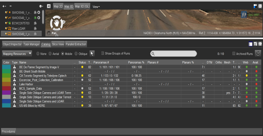
- Checking the data via catalog tab
- Verify size
- Verify data for upload

Register Now
Webinar Presenters

Greg Hall
Product Sales Engineer
Reality Modeling
Virtuosity
Before joining Virtuosity, Greg gathered a wealth of experience within the A/E/C industry, where he provided Building Information Modeling (BIM) technical expertise in public and private sectors. Greg also served as the BIM Manager for the U.S. Army Corps of Engineers, Fort Worth District. His primary objective at the District was to ensure that A/E firms achieved project delivery requirements under Attachment F Design After Award Sec 01 33 16 for all in-house and outsourced design projects.

Glen Franklin
Application Engineer
iTwin Context
Bentley Systems, Inc.
Between the construction and utility industry, Glen has nearly a decade of experience of operating Mobile LiDAR systems and processing data. In his previous roles, he trained users on GIS solutions, managing data, optimizing workflows, and extraction from LiDAR. He brings a wealth of knowledge with various GIS and a strength in Orbit GT software. He is passionate about LiDAR technology and strives to find the best solutions for users.
