Available OnDemand
Part 1 | Ground Control Points
Discover how easy it is to add GCPs with ContextCapture. Join our webinar and master GCPs and ensure that the latitude and longitude of any point on your drone map corresponds accurately with actual GPS coordinates.
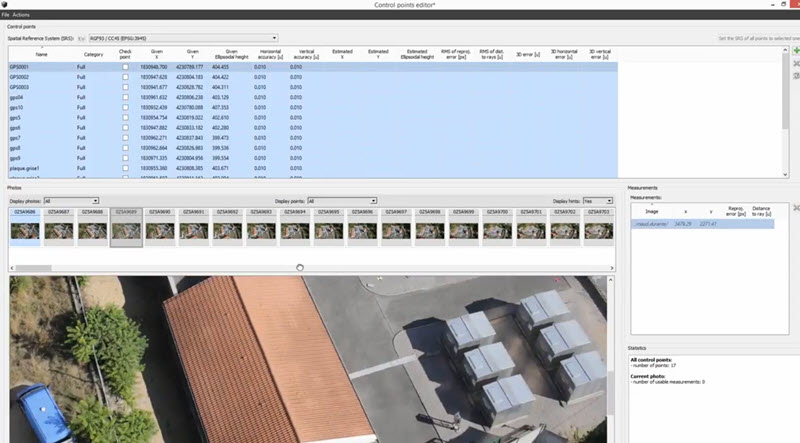
In this webinar, you will learn about:
- How to use GCPs in photogrammetry
- Understanding this difference between GCP tags and the right one to choose for a specific project type
- Benchmark guidelines that can help in the project planning process
- How to check GCPs against each other and make corrections for any errors that occur in during processing
Part 2 |
Ground Extraction
The ground extraction tool extracts terrain and automatically classifies ground points in your reality meshes and point clouds.
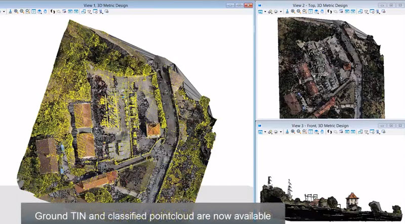
You will learn about:
- Remove trees, cars, and buildings from your point cloud or Reality Mesh
- Create contours with minimal human interaction
- Drape your orthophotos on the terrain
Part 3 | Photo Navigation
Great for your inspection workflow, the photo navigation feature turns your 3D reality mesh into a 3D visual index for finding and accessing high resolution images.
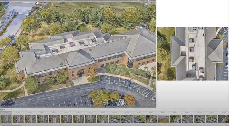
You will learn about:
- Many assets look identical, be certain you are looking at the correct one
- View each asset from multiple angles
- Sort by resolution
Part 4 | RTK Benefits for Data Acquisition
Join us to learn about how Real Time Kinematic (RTK) based drone mapping can increase your data acquisition accuracy.

You will learn about:
- Aircraft more accurate in vertical and horizontal flight
- Protected from interference
- Significantly reduce the time and improve the accuracy
Watch the OnDemand Webinars
Webinar Presenters
Greg Hall
Product Sales Engineer
Reality Modeling
Virtuosity, A Bentley Company
Before joining Virtuosity, a Bentley company, Greg gathered a wealth of experience within the A/E/C industry providing Building Information Modeling (BIM) technical expertise in both public and private sectors. Greg also served as the BIM Manager for the U.S. Army Corps of Engineers, Fort Worth District. Primary objectives at the District was to ensure that A/E firms were achieving project delivery requirements under Attachment F, Design After Award Sec 01 33 16 for all in-house and out sourced design projects.

Mike Barkasi
Senior Application Engineer
Reality Modeling
Bentley Systems, Inc.
Mr. Barkasi has over 20 years in civil infrastructure and geospatial design implementation. He has been working with Bentley Systems over 10 years, and is currently working as an Application Engineer within Bentley's Reality Group. Mr. Barkasi’ s experience has provided essential insight into workflow and situational design for these applications within the architectural, engineering and construction industries.

Kurt Rasmussen
Senior Application Engineer
Reality Modeling
Bentley Systems, Inc.
Kurt Rasmussen is a senior application engineer at Bentley and for the last eight years, he has primarily focused on applications as they pertain to photogrammetry and point clouds. Rasmussen's career started 28 years ago as a CAD technician for a photogrammetry company. Rasmussen has spent 28 years in the industry with experience in CAD management and photogrammetry. Some of his notable projects include creating a 3D model of Ground Zero in New York City, modeling of the Bayonne Bridge, and creating a 3D model of Puerto Rico for FEMA studies.
