Available OnDemand
Get more out of your Geospatial data with MicroStation
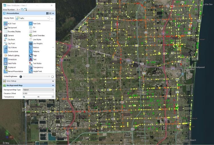
MicroStation has a rich set of geographic tools that enable you to correctly position geometry on the earth, but often the geometry is only part of the story.
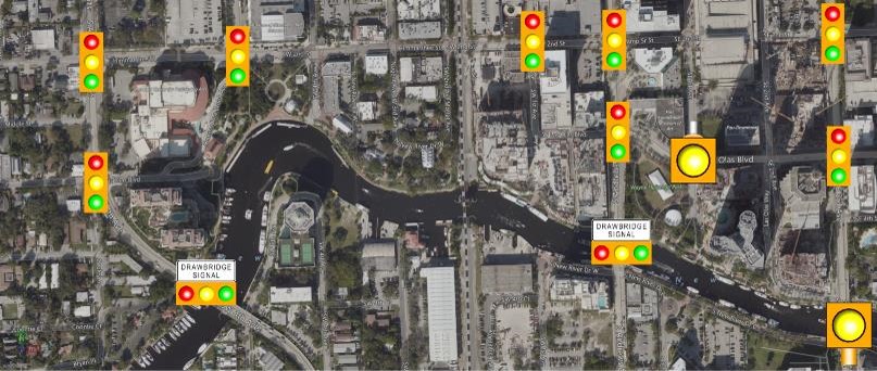
In this webinar, we will leverage engineering and geospatial data to create a dynamic infrastructure diagram, which may be useful in the planning, engineering and design activities of multiple agencies, utilities and civil disciplines.
The webinar will cover these topics:
- Setting up and using geographic coordinate systems in MicroStation
- Referencing Geo-coordinated data (Shapefiles, Bing Maps, and more)
- Visual and tabular reporting using geo-coordinated data
- Use metadata to drive display properties
- Quickly search for, zoom to and isolate specific items in large drawings


Watch Now!
Webinar Presenters

Jameese McCray
Product Sales Engineer
Virtuosity, A Bentley Systems
Jameese is a native of Baton Rouge, LA is and a Civil Engineer by trade. She has been a MicroStation user since V8i SS3 and has continued to work with newer versions. She mainly worked in Civil/Structural Design in the Petro-Chemical industry. Furthermore, she is trained as a Civil/Structural Design engineer, but still likes to work with other industry uses for MicroStation. Her primary interest is working with all things MicroStation, sales, installing, configuring, and, etc.

Dave Mayor
Senior Consultant
Bentley Systems
Dave is a senior consultant for Bentley Systems. With a background in Automotive Industrial, AE services, Collegiate Instruction, and the Reseller Channel, he has several decades of experience in the CAD world. His responsibilities at Bentley include client education, custom development, and consulting.
