Available On Demand
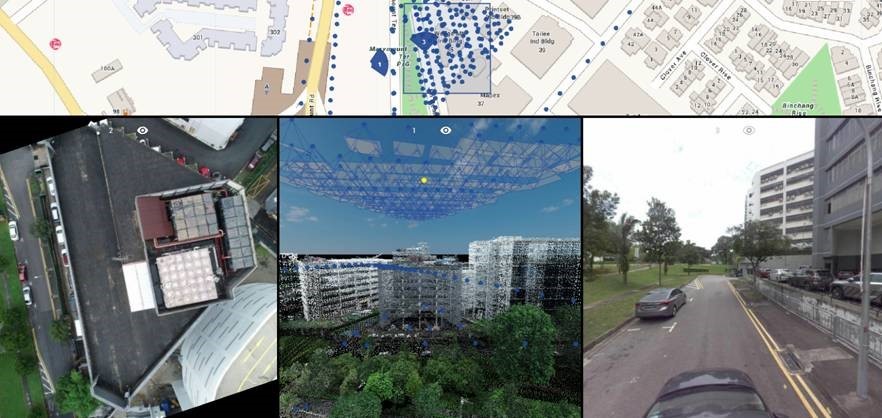
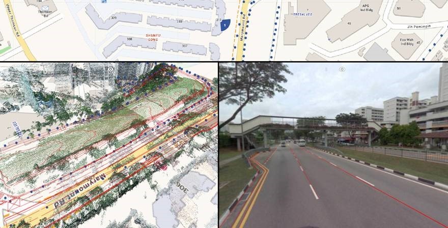
The starting point for creating a true digital representation of the physical asset is to apply Reality Modeling. Today we see various 3D capture systems used for Reality Modeling to acquire massive amounts of 3D mapping data, including 360 imagery and point clouds from cameras and Lidar devices. Increasingly, we are seeing these devices mounted on UAVs, cars and even backpacks to allow the data acquisition to take place over larger areas and more frequently.
With this huge volume of data acquisition expected to continue growing across all phases of the asset lifecycle, it is crucial that contractors and infrastructure owner operators have systems in place to effectively utilize this data. Join this webinar to see how our partner, GPS Lands, has been helping our clients in Asia-Pacific with solutions to these challenges.
In this webinar, we will showcase:
- Introduction to Virtuosity and practitioner licenses for Orbit 3DM
- An overview of Bentley’s Orbit 3DM platform and 3D mapping workflows.
- Technical demo of the Orbit 3DM platform from our partner, GPS Lands
- Q & A


Watch Now
Webinar Presenters

Glen Burke
Geospatial Sales Engineer,
Reality & Spatial Modeling, Bentley Systems
Glen holds a bachelor’s degree in Spatial Planning from Technological University Dublin and a master’s degree in Geographical Information Science from the University of Manchester. With over a decade of experience working with spatial technologies in both Europe and Australia, Glen provides subject matter expertise for Bentley’s reality and spatial modeling portfolio. Glen is based out of Bentley’s Brisbane, Australia office and works with AEC firms, drone start-ups, government & infrastructure owners across the Asia-Pacific region.

Johnson Ang
Segment Manager,
GPS Lands, Singapore
Johnson Ang is project manager at GPS Lands (Singapore). Originally from the IT industry, Mr. Johnson has 13 years of experience in the land survey industry. His subsequent experience with GPS Lands has allowed him to integrate experience from the land survey industry with IT knowledge and implement advanced GIS solutions. His team specializes in setup and customization of GPS infrastructure systems and Bentley Orbit solutions.
